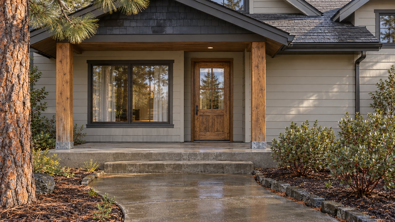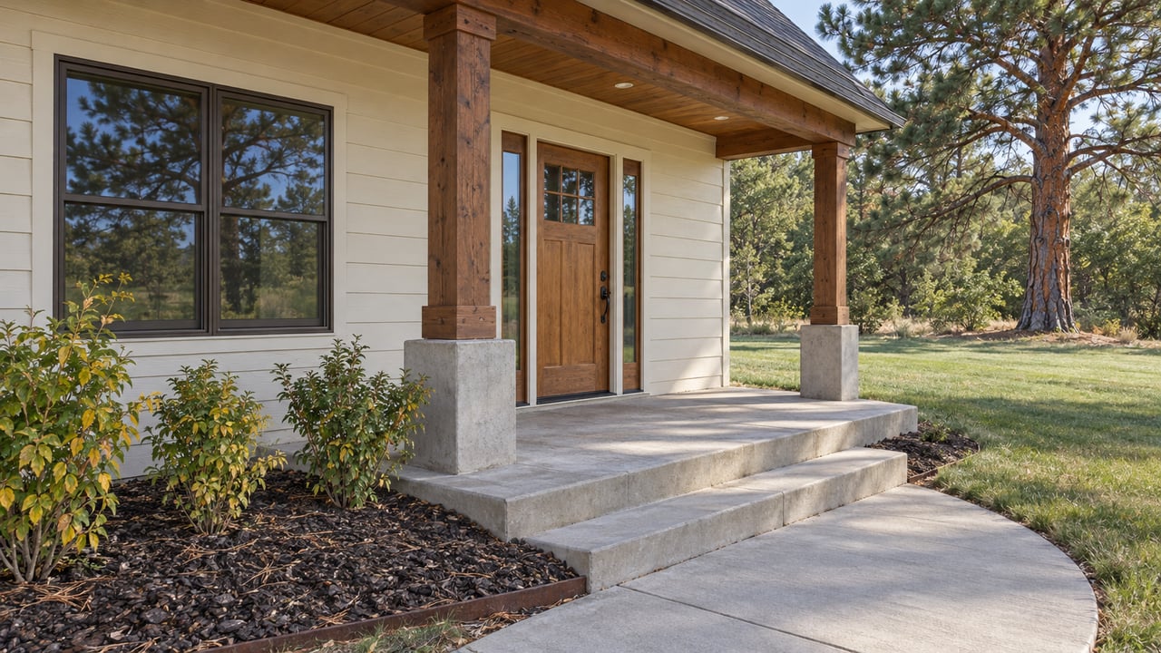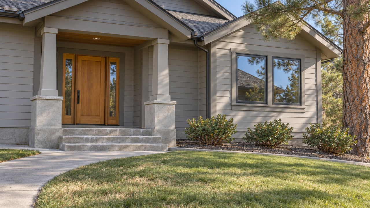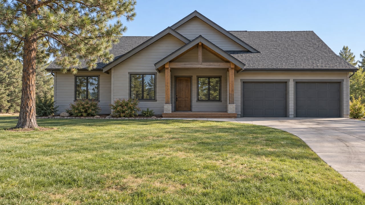
East of the Sisters post office, bulldozers have been working two of the three parcels that face East Barclay Drive. The Nugget reported in early October that the ground is being prepared for Barclay Station. The project is a cluster of 480-square-foot homes in a two-story loft layout, planned by Sisters residents Ron Lachman and Todd Ashley. Lachman told the paper that more than 20 units could fit in theory, but they will probably build fewer so each home can be larger. The project is still in planning, and completion could take up to two years.
New housing in Sisters right now tends to look like this, small and efficient and fitted onto existing parcels. Meanwhile, the City Council is preparing to decide whether to add roughly 318 acres to the town's urban growth boundary. That hearing starts at 5 p.m. on Wednesday, October 14, at City Hall. On paper, the expansion answers the town's biggest housing gap. In practice, approval makes land eligible for planning. It does not create lots, and the steps between the vote and a poured foundation have no published end date.
The shortage is in one kind of land
Sisters' case for growing rests on its Final Land Need Report, dated December 5, 2025. It forecasts the population rising from 3,649 to 7,108 between 2023 and 2043, a 95% increase that would require 1,973 more housing units. The overall shortfall is moderate. The breakdown by housing type is where it gets lopsided.
| Land use category | Units needed, 2023–2043 | Capacity inside current boundary | Surplus or deficit |
|---|---|---|---|
| Low-density residential | 1,351 | 179 | 1,172 units short, about 135.5 acres |
| High-density residential | 622 | 1,026 | 404 units surplus, about 29.3 acres |
| Total | 1,973 | 1,205 | 768 units short |
Today's boundary has room for nearly two-thirds of the town's projected housing need. That capacity sits mostly in the wrong category. The report counts the City's R, SRR and R-PMV zones as low density, the zones that typically hold detached homes. It counts the MFR and DC zones as high density. Recent work on residential efficiency measures was meant to keep high-density zones from being used for low-density building. So the report treats the 404-unit surplus as land that should not automatically count toward the detached-home shortfall.
For someone comparing Sisters with other Central Oregon towns, this is the key detail. The town's own planning record shows 179 units of low-density capacity left inside the boundary for a 20-year period. Over that same period it projects need for 1,351. New construction inside the current boundary is likely to lean denser and smaller, the way Barclay Station does.
Where the 318 acres sit, and why there
The October 14 council packet describes the proposal as about 318 gross acres east of the current boundary. The land lies north of Highway 126 and south of Sisters Eagle Airport. It includes the area around Barclay Meadows and parcels along Highway 126 south of Whychus Creek. The filed legal description puts the total at 316.42 acres, with the boundary running along Camp Polk Road, Barclay Drive, Barclay Lane, Barclay Court and Highway 126. Earlier City documents give slightly different totals, from about 314 to 318.6 gross acres, depending on the version.
The size is set close to the calculated need. The City's April 2026 math adds 134.6 net acres for housing, 42.9 for employment, 15 for a school and 19 for parks. A 25% allowance for roads and other infrastructure brings that to 264.4 gross acres. After removing constrained ground and parcels already developed, the preferred area provides about 267.5 gross developable acres, roughly 1% more than the need. The boundary leaves almost no slack.
The Alternatives Evaluation Report compared five options. Alternative 3 ran along Highway 126 east of Indian Ford Creek and took in McKinney Butte. Alternative 5 added Trapper Point. Others looked north and northeast of the airport. A separate concept that included McKenzie Meadows Village was dropped. That property's rezoning was under appeal, and state planners advised that land under appeal could not be acknowledged. OPB reported that the McKenzie Meadows Village proposal sought at least 400 homes, about 30% of them intended to be affordable, and that the Land Use Board of Appeals overturned the County's rezone decision.
Approval redraws the map but leaves zoning alone
Once the state acknowledges an expanded boundary, the added properties stay in Deschutes County as an unincorporated urban growth area, also called the Sisters Urban Area Reserve. Their county land uses stay the same. City staff will then do area planning. That work maps where housing, commercial and industrial uses, open space, parks, a school and infrastructure should go within the reserve. Those maps only matter when a qualifying owner applies to be annexed. A qualifying owner has land inside the reserve that abuts the city limits.
That makes annexation the step that controls timing, and in most cases it starts with owners. At the County Planning Commission's summer hearings, commissioners asked which owners inside the proposed area wanted to be annexed. The Nugget reported the City consultant's answer:
"Property owner consent is not a requirement."
That line applies to drawing the boundary. The same report says annexation is up to owners, and land stays under its current county designations until the owner applies. Draft 1 of the annexation code also lets the City Council start an annexation by resolution. It lists City-initiated annexations for public facilities, public rights-of-way, and housing programs authorized by state statute. For ordinary residential land, annexation is likely to move outward from the existing edge as owner petitions come in, and it will depend on which owners at that edge decide to apply, and when.
From vote to foundation, in order
City documents lay out the general sequence. The boundary steps have to happen in order. Later on, Draft 1 lets an applicant have subdivision or site plan review considered at the same time as the master plan.
- City Council hearing, October 14, on approving or rejecting the application.
- Board of County Commissioners hearing, listed for October 22 on the City's project page, together with county code changes that protect natural resource land in the growth area.
- State acknowledgment of the expanded boundary.
- Area planning to set land uses inside the reserve.
- Annexation, usually started by owners, with master plan review, under an annexation code that has not been adopted yet.
- Subdivision or site plan review, which can run alongside the master plan, before construction.
The first two steps also face a deadline. The Nugget reported that the City Council and the County commissioners both need to approve the application before January 2027. If they miss it, the City would have to start a new expansion project, with fresh housing and land need studies and another round of public engagement. The same report said the effort has drawn more than $380,000 in state planning grants since 2021. The planning record we reviewed gives no estimate of when the first home could be built on expansion land.
The draft rules that will shape what gets built
The terms for annexation are still being written. The current published text is Draft 1 of the annexation code, dated April 15, 2026. Council held its fourth workshop on the code on September 23, focused on affordable housing, and plans to review the full code before scheduling an adoption hearing. Any of the provisions below could change.
As drafted, eligible land must be inside the boundary and touch the city limits, or be separated from them only by a public right-of-way, stream or other body of water. Applicants would generally submit a master plan along with the annexation request. They would also need to show how water, wastewater and transportation will be provided, with infrastructure costs handled through an annexation agreement or another funding method the City approves.
The affordability terms have the biggest effect on what the reserve could eventually produce. Draft 1 requires that 25% of residential units in covered annexations be affordable. Units for buyers or renters at or below 80% of area median income count as 1.25 units toward that share. Delivery is tied to the market-rate units. Half the affordable units must have building permits before the last market-rate home in the first half is occupied. The rest must have occupancy certificates before permits are issued for the last 10% of market-rate homes. Deed restrictions would last at least 30 years for for-sale units and 60 years for rentals.
So detached homes on expansion land would be built in phases alongside the affordable units, under a master plan and an infrastructure agreement. The 135.5-acre low-density shortfall that justifies the expansion would be filled one annexation at a time.
Reading Sisters with this in mind
Nearly every detached home available in Sisters over the next several years will come from the existing boundary, where the town's own data shows 179 units of low-density capacity left for the 2023–2043 period. New supply inside town is more likely to look like Barclay Station than a subdivision of single-family lots. The expansion land, once acknowledged and annexed, comes with conditions attached: a master plan, an affordable share, and infrastructure obligations, all set in each annexation agreement.
Public support for the boundary itself has been fairly broad. At the County Planning Commission hearing, nine speakers favored recommending approval, including Central Oregon LandWatch, and five spoke against. The open questions are timing and terms.
Questions about the Sisters boundary expansion
Does approval change what I can do with a parcel inside the expansion area? Not right away. According to The Nugget's September 29 report, properties in the new boundary stay in the county with their current county land uses until they are annexed.
Can a parcel in the reserve be annexed if it doesn't touch the city limits? Under the current process, only owners whose land abuts the city's boundary qualify. Draft 1 also allows land separated from the city only by a right-of-way, stream or other body of water.
What happens if the January 2027 deadline is missed? City Community Planning Director Scott Woodford told the County Planning Commission that the City would have to start a new expansion project, including new housing and land needs assessments.
If you own land on the east side of Sisters, or you are weighing a purchase near Barclay Drive, Camp Polk Road or the Highway 126 corridor, the boundary decision and the final annexation code will affect what that property can become. Karen Wilson follows these hearings closely and can go through any parcel's position in the process with you. Schedule a Private Consultation.
This article is general information, not legal, tax or financial advice. Consult a qualified professional about your situation.